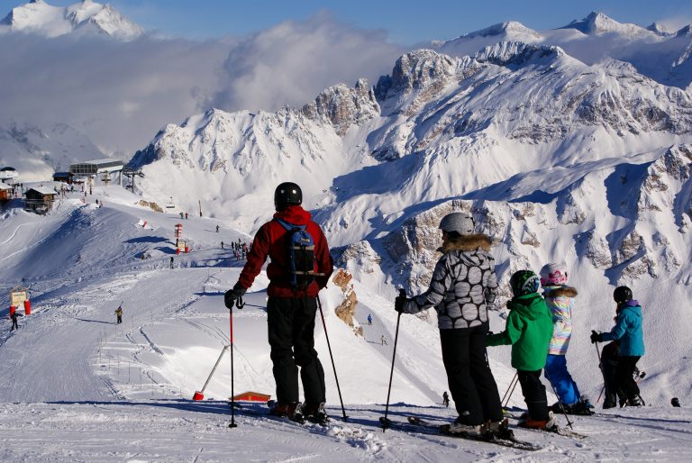
Exploring the Alps from Oberstdorf to Kleinwalsertal
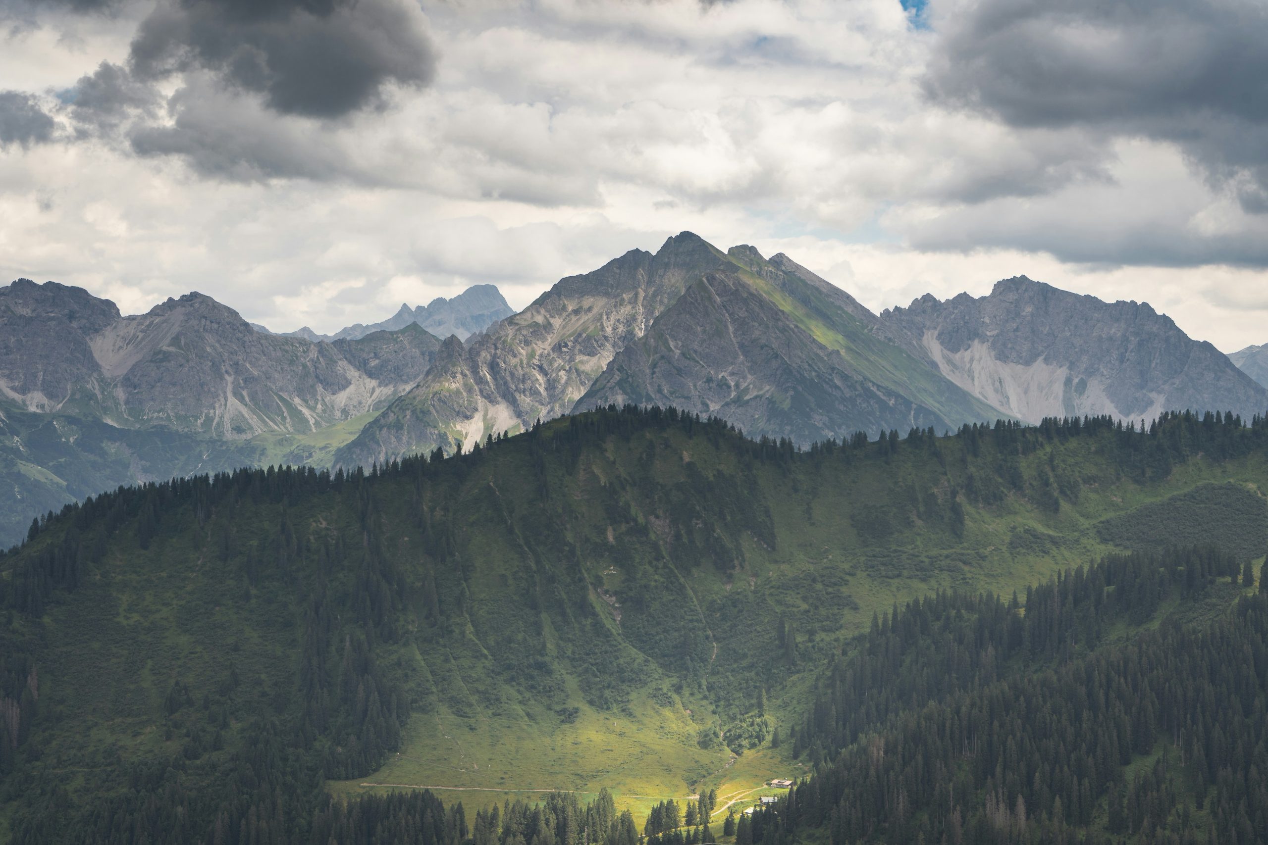
Oberstdorf and Kleinwalsertal work well as one trip because Oberstdorf is the German rail gateway and Kleinwalsertal is an Austrian valley whose only road access runs through Germany. Allow three full sightseeing days at minimum; four full days are better if the plan includes two mountain areas, Breitachklamm, and a separate valley day.
The practical approach is to choose one base, plan one main outdoor commitment per day, and give the clearest forecast to the mountain that matters most. That usually means three nights for three usable days when arrival and departure timing cooperate, or four nights for four full days. Travelers with only one full day should choose either Oberstdorf or Kleinwalsertal instead of spending the day moving between both.
Oberstdorf and Kleinwalsertal Trip at a Glance
| Decision | Best choice | Why | Main drawback | Skip when |
|---|---|---|---|---|
| Arriving by train | Oberstdorf | The railway station and central bus station simplify arrival and onward travel. | Kleinwalsertal activities still require a bus ride. | Most planned days begin deep in the Austrian valley. |
| Car-free valley trip | Riezlern or Hirschegg | Both sit on the main Walserbus corridor and are close to useful walks or lifts. | Rail travelers must transfer in Oberstdorf. | Evening flexibility and simple luggage handling matter most. |
| Quiet trail-focused stay | Mittelberg or Baad | These bases reduce travel to walks farther into the valley. | They increase dependence on buses or a car for other activities. | The group wants a broad restaurant choice or frequent town breaks. |
| High mountain day | Nebelhorn or Fellhorn/Kanzelwand | Nebelhorn offers flexible short walks. Fellhorn/Kanzelwand provides a cross-border hiking area. | Both are poor value when cloud blocks the views. | Wind, storms, closures, or unsuitable footwear make the plan unsafe. |
| Easiest family day | Söllereck | Easy walking and play facilities allow different energy levels to share one day. | Paid activities can make a simple outing expensive. | The group wants a serious mountain hike. |
| Wet-weather outdoor option | Breitachklamm, only when officially open | The gorge remains engaging without summit visibility. | The path is wet, stepped, and inaccessible to strollers and wheelchairs. | The gorge reports a closure, flood risk, or unsafe conditions. |
A four-day plan should stay flexible:
- Day 1: Oberstdorf and Nebelhorn, or a low-pressure arrival afternoon in town.
- Day 2: Fellhorn/Kanzelwand for hiking, or Söllereck for an easier day.
- Day 3: Breitachklamm with a planned exit and return.
- Day 4: One part of Kleinwalsertal, paired with Ifen or Heuberg when operating.
Do not assign fixed weekdays before checking the weather and lift calendar. Compare pay-as-you-go lift tickets with any accommodation-inclusive Bergbahn Unlimited offer before booking; the accommodation package only saves money when the planned operating days and lifts match the itinerary. The best itinerary is the one that can change order without wasting a mountain ticket in poor visibility.
Where to Stay in Oberstdorf or Kleinwalsertal
Oberstdorf is the safest default for a first visit. It works particularly well for rail arrivals, three-night stays, and travelers who want restaurants, stores, and transport connections within a compact town.
The drawback is daily movement into Kleinwalsertal. That tradeoff is usually manageable when only one day is devoted to the Austrian valley.
Oberstdorf
Choose Oberstdorf for the easiest arrival and the most flexible evenings. The railway station adjoins the bus hub, and local routes serve Nebelhorn, Fellhorn, Söllereck, and Breitachklamm.
An Oberstdorf guest card can include free travel on selected local buses. Current coverage includes line 1 only as far as Walserschanz at the Austrian border. A connecting ticket is required beyond that point, so the card should not be treated as a pass for all of Kleinwalsertal.
Riezlern
Riezlern is the most practical Kleinwalsertal base for travelers who still want services close by. It is the first main village after the border and has direct access to the Kanzelwandbahn.
This base suits a car-free trip built around Fellhorn/Kanzelwand and short valley outings. It is less convenient than Oberstdorf for rail arrival and for repeated activities on the German side.
Hirschegg
Hirschegg is a useful middle-ground base. The village sits centrally on the Walserbus route, near the Heubergbahn and connections toward Ifen.
Choose it when valley movement matters more than nightlife. Its central position is practical, but travelers should still check the last useful bus before committing to dinner or an evening elsewhere.
Mittelberg and Baad
Mittelberg works for travelers who want a quieter village with easier access to the valley’s inner half. Baad sits at the end of the road and is best for a trip led by nearby walking rather than sightseeing variety.
These are not the best choices for late dinners, frequent railway trips, or travelers who dislike timetable planning. They reward slower days but create more friction when the itinerary repeatedly returns to Oberstdorf.
Kleinwalsertal overnight guests currently receive a Mobil Walserbus ticket for travel within the valley. Many, but not all, accommodations also participate in Summer Bergbahn Unlimited. Confirm both benefits with the exact accommodation because inclusion and seasonal availability vary.
Day 1: Oberstdorf and Nebelhorn
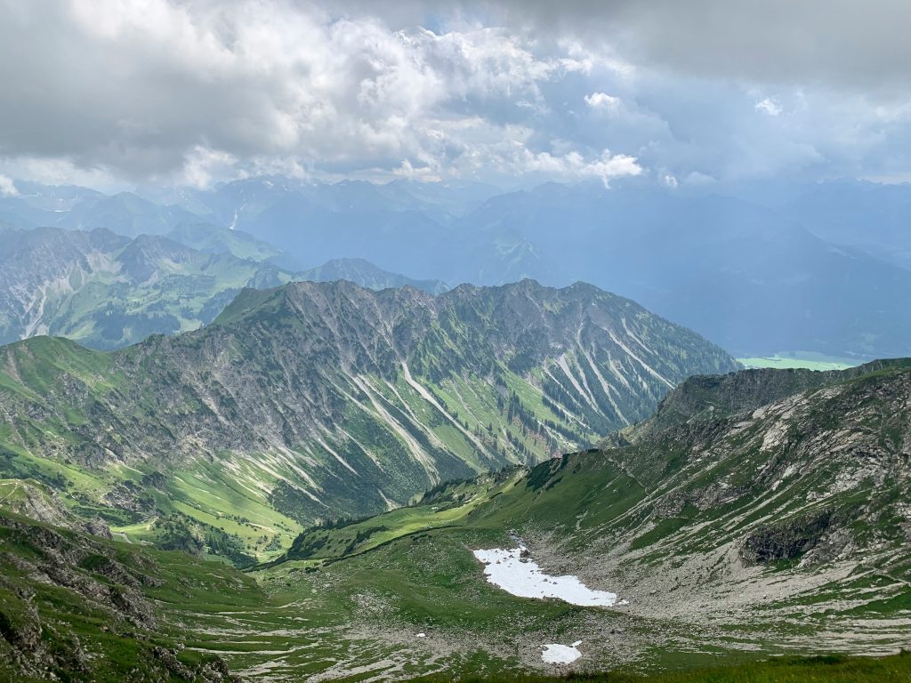
Use Nebelhorn on a clear full day. On a late arrival or a clouded afternoon, stay in Oberstdorf and save the lift ticket.
The Nebelhornbahn starts close to central Oberstdorf and provides several ways to experience the mountain without committing to a long hike. The easiest option is the 30-minute Panorama Trail from the Höfatsblick station. The official route uses gravel and asphalt and is suitable for wheelchairs and strollers.
Travelers wanting more walking can continue on the Höfatsweg to Zeigersattel and return by the same route. The lift operator grades this approximately 1.5-hour route as easy. It still takes place at elevation, so sturdy footwear, weather protection, water, and current trail checks matter.
The summit should be treated as an optional extension, not a requirement. The official route from the 2,224-meter summit back toward the mountain station is described as rocky and steep despite its easy grading. Anyone uncomfortable with exposed mountain terrain can ride the lifts and use the lower, gentler paths instead.
Food and accessible toilets are available at lift stations when their facilities are open. Check the live lift and trail report before leaving the hotel, then confirm the final descent time at the station.
For an arrival day, a better plan is simple: orient at the station, collect groceries or trail snacks, take a short valley walk, and eat early. Oberstdorf earns its place in this trip as a transport and service base. Trying to force both town sightseeing and a major mountain excursion into a half-day weakens both.
Day 2: Fellhorn/Kanzelwand or Söllereck
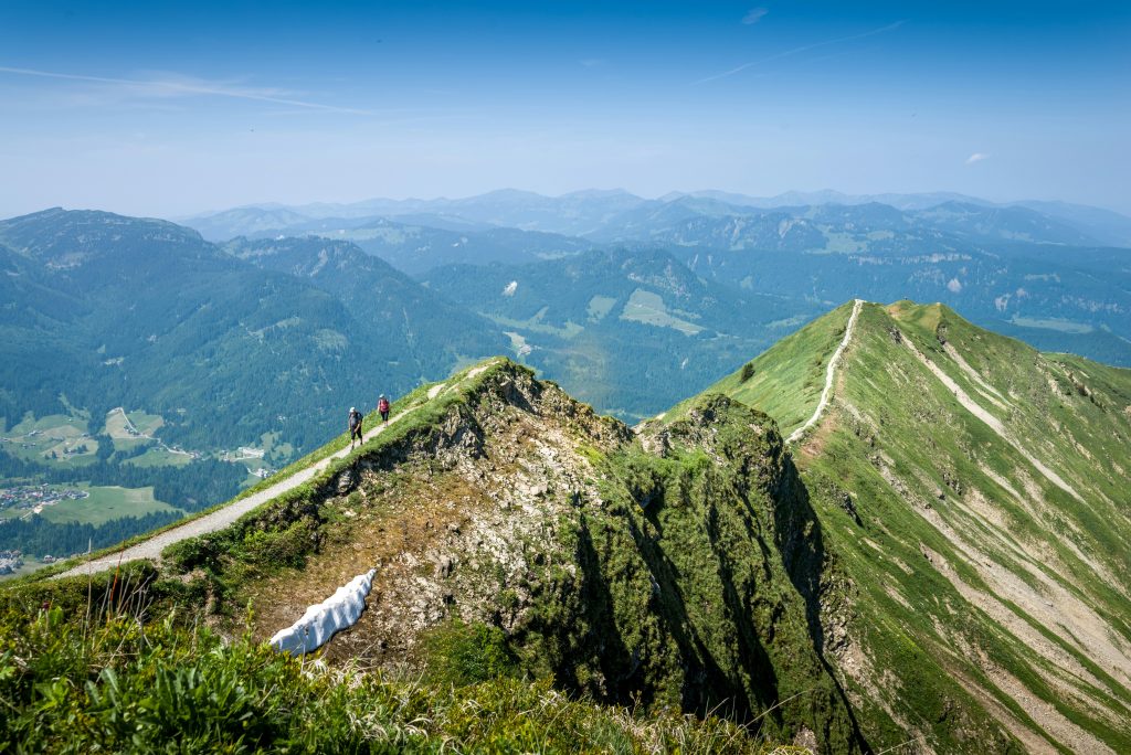
Fellhorn/Kanzelwand and Söllereck solve different problems. Choose Fellhorn/Kanzelwand for a more substantial mountain day. Choose Söllereck when mixed ages, uncertain energy, or play time matter more.
Fellhorn and Kanzelwand
The Fellhornbahn approaches from the German Stillachtal. The Kanzelwandbahn starts in Riezlern on the Austrian side. Both reach the same cross-border hiking area, but the correct starting lift depends on the base and return plan.
The official Two-Country Circular Trail takes about two hours and is graded easy. A typical version begins at the Kanzelwand mountain station, uses the lift network around Fellhorn, and returns toward Kanzelwand through the Rote Wand area.
“Easy” does not mean weather-proof. The route is near 2,000 meters, and snow, storms, maintenance, or construction can close paths or require detours even in summer. Follow the marked route and current operator notices; if the connection is closed or conditions exceed the group’s ability, use a shorter signed walk near an operating station instead.
Families wanting a shorter commitment can use the Burmiwasser path from the Kanzelwand mountain station toward the Riezler Alpsee. The operator estimates about 30 minutes and describes water-play stations along the route.
Travelers seeking a harder ridge or hut hike should use the individual route description, not the broad “family-friendly” label for the area. Several routes require fitness, surefootedness, and alpine experience. The via ferrata is a separate technical activity and should never be treated as an ordinary hiking add-on.
Söllereck
Söllereck is the lower-stress alternative. The Schönblickweg descends from the mountain station to the valley station in about one hour on a broad, stroller-friendly path.
Playgrounds and the marble-run stations help families break up the walk. The Allgäu-Coaster and climbing forest are separate paid activities with operating rules, weather limits, and age or height restrictions. Verify those conditions before promising them to children.
Söllereck is not the best value for adults who want a demanding mountain hike. It works because one family member can walk, another can stop at a playground, and the group can shorten the day without abandoning the entire plan.
Day 3: Breitachklamm Without the Usual Timing Mistake
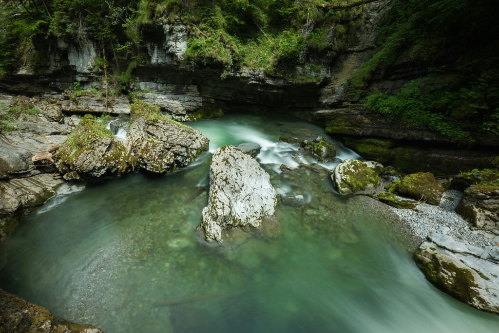
Breitachklamm deserves its own half-day commitment. Treating it as a quick stop before another mountain often creates rushed parking, missed buses, or an unplanned climb back to the car.
There are two practical formats. Walk one way through the gorge and use the bus network to return, or continue into a longer loop over Zwingsteg and past Alpe Dornach or Sesselalpe. The loop adds time and climbing, while the one-way plan adds timetable and ticket dependence.
Drivers should decide on the exit before parking. The official Oberstdorf parking page provides current locations and occupancy information, while the gorge page identifies the lower entrance and its visitor facilities. A one-way walk only works if the return bus actually serves the parked side at the needed time; otherwise choose the loop or arrive by bus.
The gorge path is secured but wet, shaded, uneven, and stepped. The official route information states that strollers and wheelchairs cannot use it, including folding models. A child carrier is the realistic option only when the adult is comfortable carrying it on wet terrain.
Toilets and visitor facilities are available at the lower entrance. Food on a longer loop depends on hut operations, which can change by season and day. Carry water and a snack even when a hut appears on the map.
Oberstdorf bus line 44 serves the lower Breitachklamm entrance. Line 1 serves Walserschanz near the upper side, but ticket coverage changes at the border. Travelers using an Oberstdorf guest card should not assume that the Austrian section is included.
The gorge closes during parts of snowmelt and late autumn, and weather or water conditions can cause additional closures. Rain can make the water more dramatic, but it does not override an official closure or warning. Check the current Breitachklamm information on the day of the visit.
Anyone with limited mobility, unsuitable footwear, or discomfort on wet steps should skip the gorge. Oberstdorf lists several barrier-reduced valley routes that provide a safer alternative.
Day 4: Kleinwalsertal, Ifen, and Heuberg
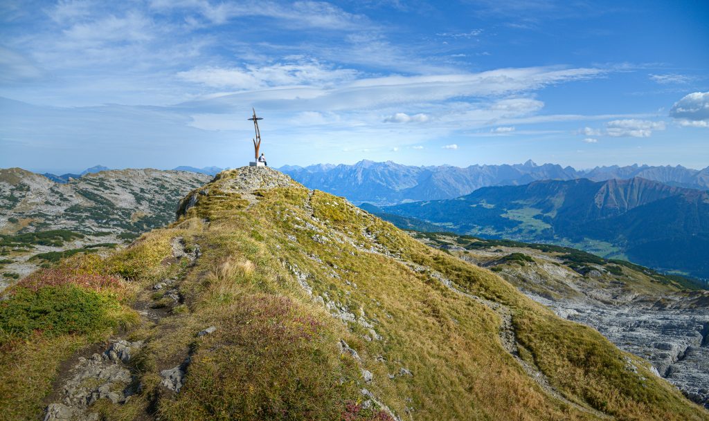
Do not try to collect Riezlern, Hirschegg, Mittelberg, Baad, and multiple lifts in one day. Pick one part of the valley and one main walk.
Riezlern is the easiest first stop for services and Kanzelwand access. Hirschegg works as the central transfer point. Mittelberg favors a quieter village break, while Baad is useful when the walking route begins at the end of the valley.
Easy day: Hirschegg to Riezlern
The Burmiweg provides a simple family framework between Hirschegg and Riezlern. The official route is 2.09 kilometers, takes about 30 minutes of walking, and gains only 31 meters.
Nine play stations slow the pace in a useful way. The riverside section is stroller-friendly, but the final approach back toward Riezlern becomes steeper. Add lunch or playground time rather than stacking another paid attraction.
Moderate day: Heuberg to Mittelberg
The Upper High-Altitude Route begins at the Heubergbahn mountain station and continues toward Mittelberg. Official route data lists 4.99 kilometers, about two hours, and 76 meters of ascent.
Multiple descent options make it easier to shorten than a summit route. That flexibility suits families and active older travelers, but current lift operation, trail status, and any chairlift shortcut must still be checked that morning.
Ifen: viewpoint or serious mountain
Ifen offers one of the clearest examples of why route names matter. In summer, the Ifenbahn reaches the middle station, and an easy lookout walk takes about 30 minutes.
The Hoher Ifen summit circuit is entirely different. The official route is 13.89 kilometers, takes about 6.5 hours, gains 914 meters, and includes scree plus rope-secured sections. It is for experienced mountain hikers with surefootedness and a head for heights, not a casual extension to a village day.
For a middle option, the Schwarzwassertal route toward Melköde and Schwarzwasserhütte is listed at 4.95 kilometers, about 3.25 hours, and 350 meters of ascent. Confirm hut opening and trail conditions before relying on food there.
Walmendingerhorn in 2026
The Walmendingerhorn cable car is closed throughout summer 2026 for replacement work. The operator plans to reopen it for the 2026/27 winter season.
Some surrounding trails remain accessible, but construction also affects specific paths. Summer 2026 visitors should use Ifen or Heuberg for lift-assisted walking. Travelers visiting later should check the official operating page instead of assuming that the project finished on schedule.
Transport, Tickets, Weather, and Food
This region can be visited without a car, but car-free does not mean ticket-free or timetable-free. Rail service ends at Oberstdorf, and buses continue toward Söllereck, Fellhorn, Breitachklamm, and Kleinwalsertal.
The German-Austrian fare boundary causes the most confusion. As of August 2026:
- The Deutschlandticket is not valid on Walserbus line 1 between Oberstdorf station and Walserschanz.
- The Bayern-Ticket is not valid on the Walserbus.
- Oberstdorf’s guest-card bus benefit reaches Walserschanz but not the full Austrian valley.
- Kleinwalsertal overnight guests can use the Mobil Walserbus ticket within the valley, but onward travel from Walserschanz toward Söllereck and Oberstdorf costs extra.
These rules can change. Confirm them on the official Walserbus page and with the accommodation before travel.
A car helps with luggage, early departures, and trailheads. It also creates parking stress on busy days and offers little advantage once the group is moving along the valley’s main bus corridor.
Drivers should use Oberstdorf’s live parking map rather than a saved list of prices or spaces. P1 and P2 sit at the town entrance, P3 serves the railway and bus station area, and Faistenoy is the relevant destination for the Fellhornbahn. Central parking is not automatically the best choice for Nebelhorn: an accommodation space plus a local bus can remove the search for a space and the need to move the car again.
Check four things each morning:
- Mountain forecast and thunderstorm risk.
- Live lift and trail status.
- Last descent and last useful return bus.
- Food and toilet availability on the chosen route.
Mountain restaurants and huts should be treated as conditional stops. Bring water and a simple snack, then use local food as part of the route when the venue is confirmed open. Kässpatzen, mountain cheese, and a hut lunch make sense here because they support a rest break, not because the day needs a food checklist.
Rain, Low Cloud, and a Two-Night Alternative
Bad visibility should change the order of the trip, not end it. Low cloud makes an expensive summit ride poor value, while steady rain may still allow a short valley outing if there is no storm, flood warning, or official closure.
| Condition | Better plan | Avoid |
|---|---|---|
| Low cloud, dry paths | Burmiweg, Oberstdorf town, or a lower valley walk | Buying a summit ticket mainly for views |
| Steady rain, no warning | A short town day or verified indoor activity | Exposed ridges and long routes with no easy exit |
| Thunderstorms forecast | Stay off lifts, ridges, summits, and via ferratas | Waiting above the tree line for conditions to improve |
| Gorge closure | A barrier-reduced Oberstdorf valley route | Trying to enter from another side |
| Low energy | Nebelhorn Panorama Trail, Söllereck, or a village pair | Hoher Ifen summit circuit |
Current official listings include the Oberstdorf Local History Museum, the Ice Sports Center, and Therme Oberstdorf. Public skating sessions, museum hours, pool access, and event schedules change, so verify the exact day before building the backup plan around one venue.
With only two nights, choose one clear-weather mountain and either Breitachklamm or a Kleinwalsertal valley day. Compressing all four days into two creates more transport than mountain time.
Frequently Asked Questions (FAQs)
Sources
- Oberstdorf free bus travel and guest-card coverage
- Oberstdorf official parking locations and live occupancy
- Oberstdorf official leisure and bad-weather options
- Kleinwalsertal Walserbus connections and ticket boundaries
- Kleinwalsertal villages from Riezlern to Baad
- Summer Bergbahn Unlimited and participating accommodations
- OK Bergbahnen live lift and trail status
- Nebelhorn official hiking routes
- Fellhorn and Kanzelwand official hiking routes
- Söllereck official hiking routes
- Breitachklamm official visitor information
- Breitachklamm official route and accessibility notes
- Burmiweg official route data
- Heuberg Upper High-Altitude Route
- Hoher Ifen official mountain and route guidance
- Schwarzwassertal route to Schwarzwasserhütte
- Walmendingerhorn cable-car replacement project